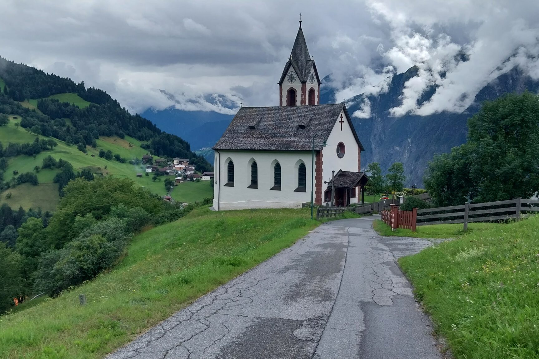
The Zammerberg is located between the towns of Landeck and Imst and starts from, yes, the town of Zams. In search of enjoyable climbs in the region, this one came up, and although it’s not a “hors catégorie” climb, it seemed worthwhile nonetheless. And it was. On a rainy day, there came a dry spell in the afternoon for about two hours, and that was my chance to drive towards Zams and then tackle this climb. The climb is easy to find. In the center of Zams, you’ll find the exit towards the Zammerberg clearly marked. In the back of my mind, I thought I could do the climb twice in a row to gain more altitude and distance. Plus, there were no other climbs nearby that were quickly accessible. So, I took the Zammerberg exit and off we go.
Right after the start of the climb, the road starts to ascend. The road bends to the left, and the first double-digit gradients are quickly reached. Speaking of numbers; Salite.ch gives the climb a length of 8 kilometers, with the starting point at an altitude of 765 meters and the endpoint at 1296 meters. That makes a difference in altitude of 531 meters and an average gradient of 6.6%. With the caveat that there is a lot of variation in the climb; there is even a significant flat and descent section just before the final ascent towards the hamlet of Falterschein where the climb ends. Or rather, where the asphalt ends.
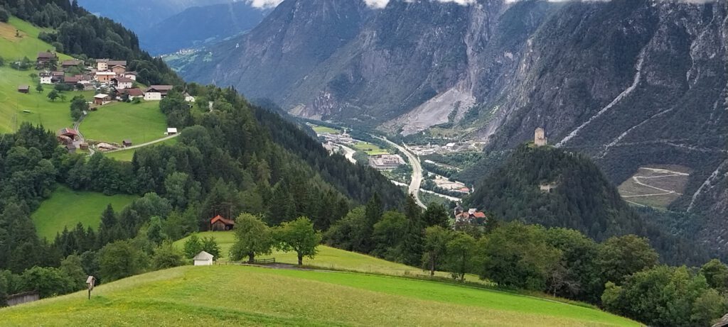
As mentioned, the toughest parts of the climb are in the first 4 kilometers. After that, it flattens out a bit, followed by some steeper sections. In the hamlet of Anreit, you’ll find two hairpin bends before the climb continues towards the village of Rifenal. On the right, you’ll see the valley station of the Rifenal cable car, and the road flattens out as you approach the houses. Pay attention: when you’re in Rifenal, keep right, so take the road that continues to climb. We cycle on towards the village of Lahnbach. Here, the gradients become less steep, and you can put in some effort, knowing that a short descent follows immediately after Lahnbach. In a right-hand bend, you enter the forest where the road was quite wet in my case. You cross the Meranzbach in a left-hand bend, then just before Grist, you encounter a steep section where the gradients return to double digits. From Grist, you can already see the endpoint of the climb across the valley – the church of Falterschein. Again, a descent before we start the final section. Here, we cycle through two very short tunnels carved out of the rock. No need for lighting or anything.
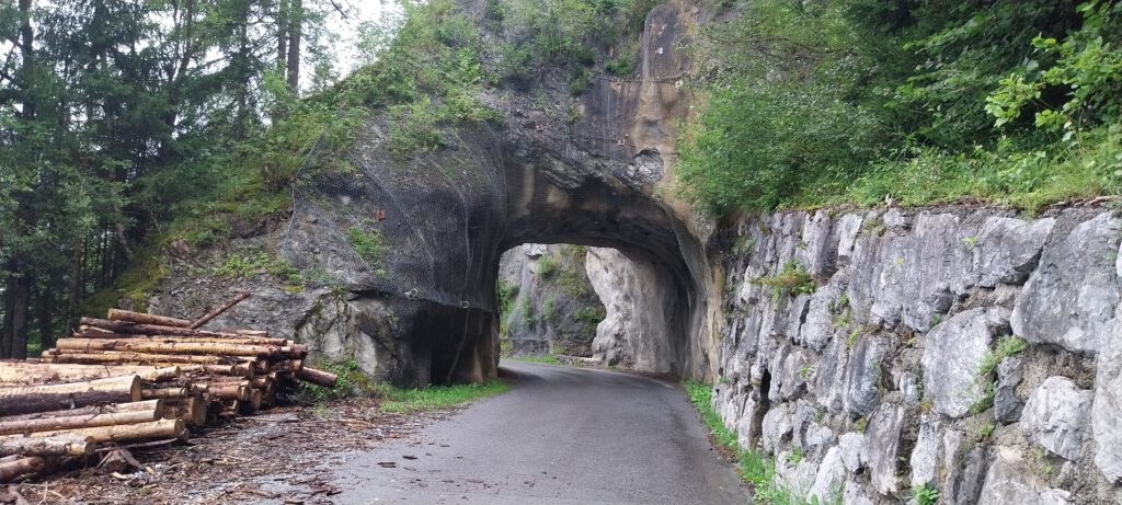
This section, as the photo also shows well, is still quite flat. Now the final stretch to Falterschein, where the gradients increase again. When we arrive at Falterschein, you can turn left into Falterschein, or turn right and continue climbing, see the photo directly below.
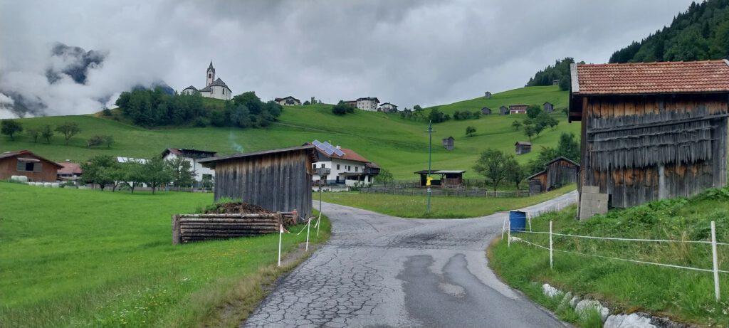
You take the right turn and climb around the church through the meadows. Of course, I first took the road to the left into Falterschein. However, that quickly leads to a dead end, so I had to turn around and return to this intersection. So, you choose the right road, where the road is a bit steeper, and you follow it until the asphalt ends, about 250 meters after the church.
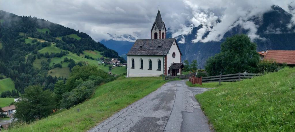
Actually, I was enjoying the climb today, and once I started the descent, I decided to stick to my plan and do the climb a second time. The second time even went smoother than the first. I found it to be an enjoyable climb. Especially because the road is very quiet, there’s no tourist traffic. The road itself is quite good, and on the flatter sections, you can recover nicely. Of course, it’s not a major pass, but if you’re in the area, this is still a bit of a “Geheimtipp,” as our German neighbors would say.
