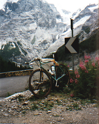
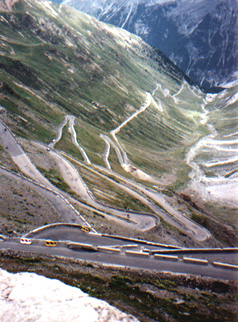
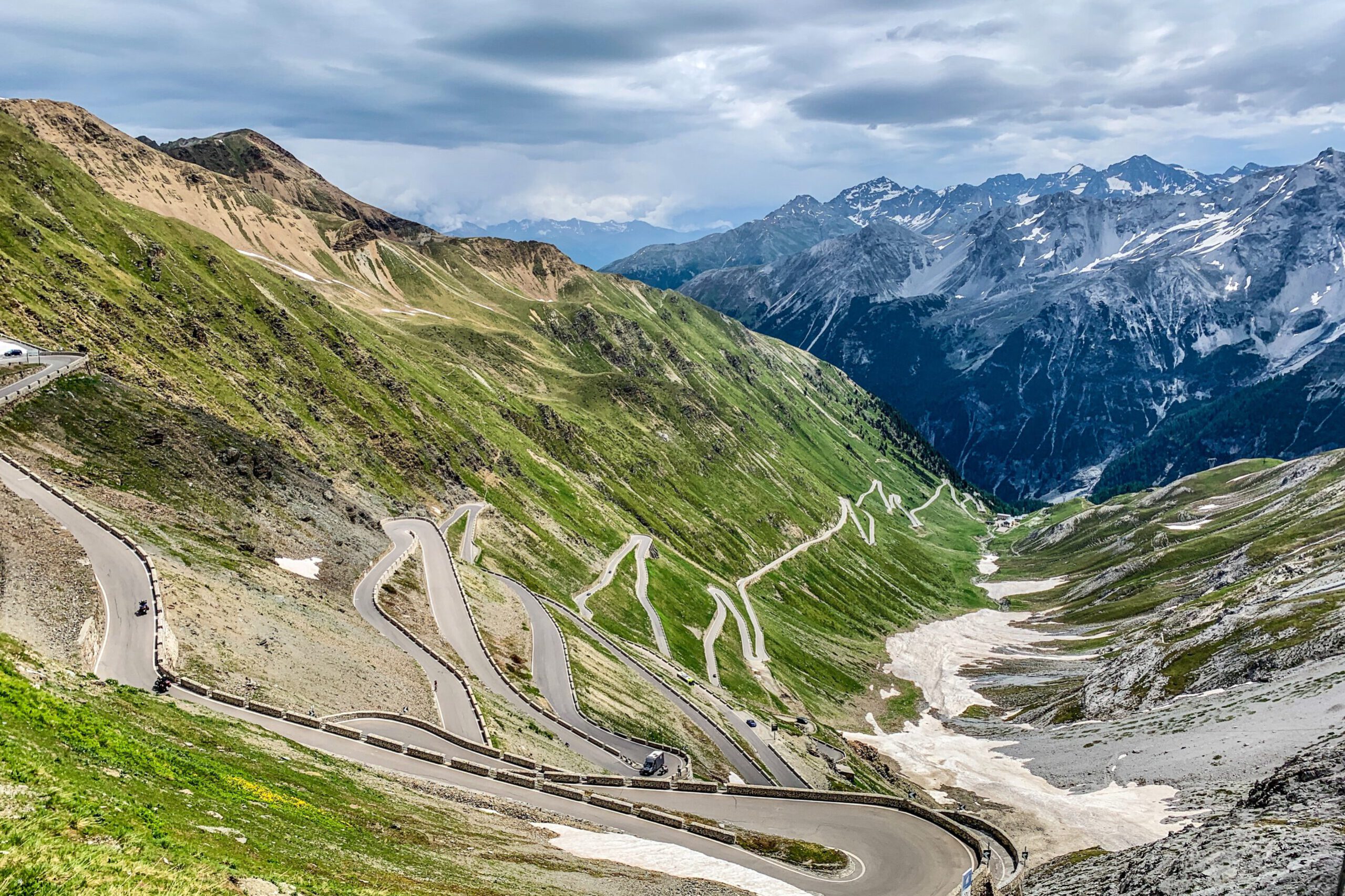
The Stelvio Pass is located in northern Italy. The area is bilingual, which is why the mountain pass is also referred to as the ‘Stilfser Joch’. The Alpine pass is situated near the border with Switzerland, on the map to the left of Merano (Italy). This well-known pass for cyclists boasts an incredible 48 hairpin bends (from Prad) and is a true challenge.

From Austria, the easiest route is from the Oberinntal via the Reschen Pass (this is not an attractive climb, a very busy road surrounded by guardrails with only a few hairpin bends). Once in Italy, you soon see the beautiful snow-capped peaks, including the Ortler (3906 meters, located next to the Stelvio Pass). I start the climb from Prad. When you take the Prad exit, you drive through a small industrial area towards the center, and you can turn right towards the Stelvio Pass (this is clearly indicated). At the end of the village, you will find Hotel Prad on the left side of the road and ample free parking on the right side under the trees. This is an ideal starting point for the climb.
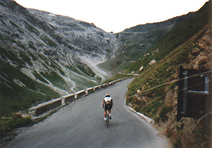
The first part of the ride is the least attractive because you are cycling on a busy road. However, the view and the sound of the stream to the right of the road make up for it. It’s not very steep here yet, but it’s absolutely essential to conserve your energy. At some point, you cross the stream and reach the first village: Gomagoi. After Gomagoi, you reach the first hairpin bend (no. 48). It’s a serious climb for a moment, and then we continue towards Trafoi. So far, you can consider everything as a ‘warm-up’, because the climb really starts from Trafoi. The hairpin bends now follow each other more quickly, and we enter the forest. This is a long stretch where everything looks about the same. It’s nice climbing here, with the bends close together. When your legs need some rest, you can ride on the flat outside of the bend. You sometimes encounter professional cyclists on the Stelvio Pass. In 2002, I encountered the Mapei team, and in 2003, a rider from Cofidis. Although I was in a good rhythm at the time, he passed me seemingly effortlessly and greeted me kindly. After that, cycling wasn’t quite as easy for me.
It’s getting tougher, and the legs get little rest. The distances between the bends gradually increase, and it becomes noticeably steeper. At Weiser Knot, a hotel on the left side of the road, it’s the steepest, about 15%. Shortly after that, in 2003, there was a road closure, so I had to wait at the traffic light. The forest then becomes thinner, a sign that we are nearing the tree line. You can really enjoy the magnificent view here. The road continues to climb steadily, averaging about 8%. There are still plenty of bends to go as we reach an important milestone: Hotel Franzenshohe. From here, you can see the top, but appearances are deceptive, there are still about 30 bends to go.

The view of the Madatsch Glacier and Ortler on the left side is phenomenal. The road surface is not great, with lots of bumps and cracks, but it’s not too annoying when climbing. The bends are close together again now, and it’s time to count down. The gradient remains the same. This is also where you encounter most cyclists, on road bikes or mountain bikes, all aiming for the top. Although it wasn’t easy for me either, it does help; you can always ride towards the next cyclist. We’re almost there now, the final stretch. It can still be quite tough, but with the top in sight, it’s doable. Upon reaching the top, it’s time for a sandwich with sauerkraut and sausage, provided your stomach can handle it…

Satisfied, we can start the descent. It’s straightforward but not entirely without danger due to the occasionally poor road surface. You don’t easily reach really high speeds above 60 km/h here. The frequent braking and turning put considerable strain on your shoulders. As a cyclist, you are often faster than most cars here.
Cars often give you some space in a bend so you can pass on the inside. However, it’s still important to be cautious: the bends are narrow. This means that buses or trucks often can’t make it through in one go or take the bend very wide. So, look ahead carefully. Once back in Trafoi, we have longer straight sections again where speeds increase. The climb took over 2 hours, the descent about 40 minutes.


