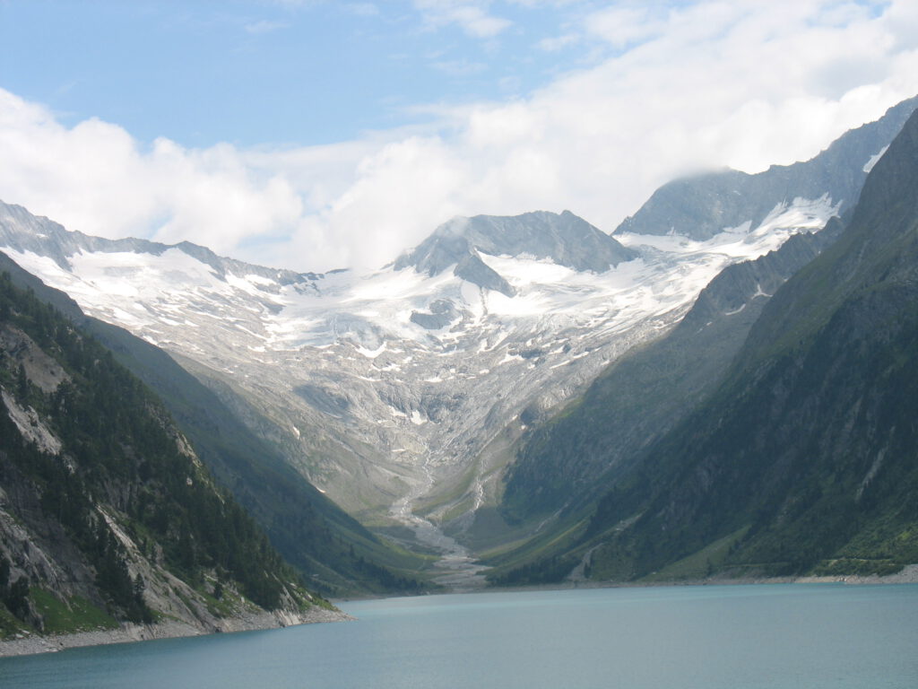
Schlegeis, a reservoir behind Mayrhofen, caught my eye on several cycling websites as a potentially interesting climb. Of course, I’m not on vacation just to cycle, so it’s not a must. But when the family decides to drive to the Schlegeisspeicher by car because there’s supposedly beautiful hiking there, well, what do you do? Fifteen minutes later, I’m dressed in my cycling gear and depart from Kaltenbach towards Mayrhofen. A bit unprepared, I admit. Plenty of food and drink, but I don’t know much about the climb. The first part of the ride is beautiful.

From Kaltenbach, it’s about 25 kilometers to Mayrhofen, and it goes through the valley. It’s rolling terrain, and the sun is shining nicely. When I arrive in Mayrhofen, it takes a bit of searching for the right road. I end up on a wide road, and it starts to climb quite steeply. However, I’m not sure if this is the right way. I try to imagine how the valleys roughly run and realize in time. I’m heading towards Hintertux, and that’s not the plan for today. So, I turn back, and right at the entrance of Mayrhofen, I now see the correct turnoff, leading to Ginzling. After a stretch of false flat, things don’t get much clearer. Ginzling is indicated with a sign both to the left and straight ahead. What to do? I see a kind of hairpin bend to my left and a row of waiting cars. That must be the right way.

I weave through the cars and see a traffic light turn green, followed immediately by a hairpin bend to the right. I push a bit and suddenly enter a tunnel whose end I can’t see. The cars behind me are impatient because they can’t pass me in the narrow tunnel carved into the rock face. I dismount and use the small space against the rock face to let the cars pass. When the last car has passed, it becomes quiet. I get back on the bike, convinced that the light will appear after the next bend. But no. And not after the next bend either. I realize that the traffic light I waited for will probably be at the exit of the tunnel, and I can expect oncoming traffic. It’s been steadily climbing about 5% all along, so I dismount again to make room for the approaching cars in the distance. Eventually, the tunnel turns out to be 3 kilometers long. Madness. I already dislike tunnels (at least with a bike), and that was truly a trial. Of course, cycling here is also prohibited. I missed the sign at the beginning of the tunnel indicating its length. The correct road to Schlegeis for cyclists is straight through the Schlucht up, as I later find out. In short, for those planning to do this climb, absolutely do not go through the tunnel; it’s dangerous and not enjoyable..
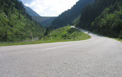
Well, once I see the light again, the road becomes more beautiful. I pass the village of Ginzling, and after a beautiful stretch where many rock climbers show off their skills, I cycle past the toll booths onto the panoramic road. It’s steeper again, and a nice climb. But again, those tunnels. This time short tunnels, but again only enough space for one car, and without light, it’s not pleasant at all. So, I stop for a drink and push hard to pass those tunnels as quickly as possible.

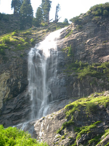
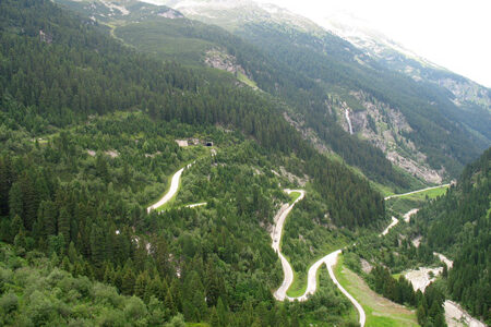
Then the dam comes into view, announcing the last part of the climb. Yes, it’s beautiful here; I cycle along a high waterfall on the right where many people stop to take a photo. I continue and start the final stretch of the climb, the hairpin bends to the crown of the dam. It goes smoothly and wonderfully in the sun. In the very last bend, there’s a small tunnel just for good measure, and we’re at the top. The reservoir is beautiful and makes up for a lot. I locate my family’s car and put the bike in the back before joining them for a pleasant afternoon.


