In the summer of 1998, I stay in Austria for the first time in my life. Actually, it’s my first time in the Alps as well. While on vacation in Serfaus, one day we decide to drive through the Kaunertal to the glacier (endpoint 2750 meters). Along the way, we see some cyclists struggling their way up, which inspires me to do it myself someday. A new (vacation) hobby is born. In 2002, we return to Serfaus, this time armed with a racing bike and fitness. Especially for this ride, I have mounted a 39 x 28 gear ratio, which at home on the Holterberg seems impossibly small even on a 10% gradient. Little did I know at the time that this would be practically the only gear I would use throughout the vacation!

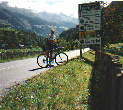
Upon arriving in Austria, I spend the first week training at the Fisser Hohe. On a sunny Saturday with favorable weather forecast, we set off. Unlike in 2003, I start from Serfaus itself (1450 meters), which means first a nice descent to the Inntal. Arriving in Ried (900 meters), you cycle via the cable car and the swimming pool to Prutz (884 meters). There the actual climb begins; the distance to the glacier is still 39 kilometers. Just past Prutz, you cycle on a beautiful paved road through the narrow entrance of the valley. Tall mountain walls tower above the road on both sides. The “Faggenbach” guides the way. The gradient here is still modest, yet it’s advisable to conserve your energy here knowing what lies ahead. Still 35 kilometers to go. Then, after about six kilometers, suddenly fear strikes in the legs. The smallest gear is already engaged, and it’s a tough grind! Upon reaching the top of the slope, a sign on the other side of the road indicates the gradient: 14%. That’s reassuring; with such a gradient, it’s acceptable for it to be a bit tougher… The valley gradually widens, and we now pass some meadows, nearing the largest town in the valley, Feichten (1280 meters). Until Feichten, it’s an easy ride, mostly flat and occasionally even descending. Directly after Feichten is the toll station, where every car has to pay 19 euros to proceed on the road, which from here on is called the “Panoramaweg.” The stream now lies deeper on the right side of the road, and you cycle through a forested area. Here, the climbing becomes more serious, with longer stretches at gradients between 5 and 10%. Here, you can finally settle into a rhythm.
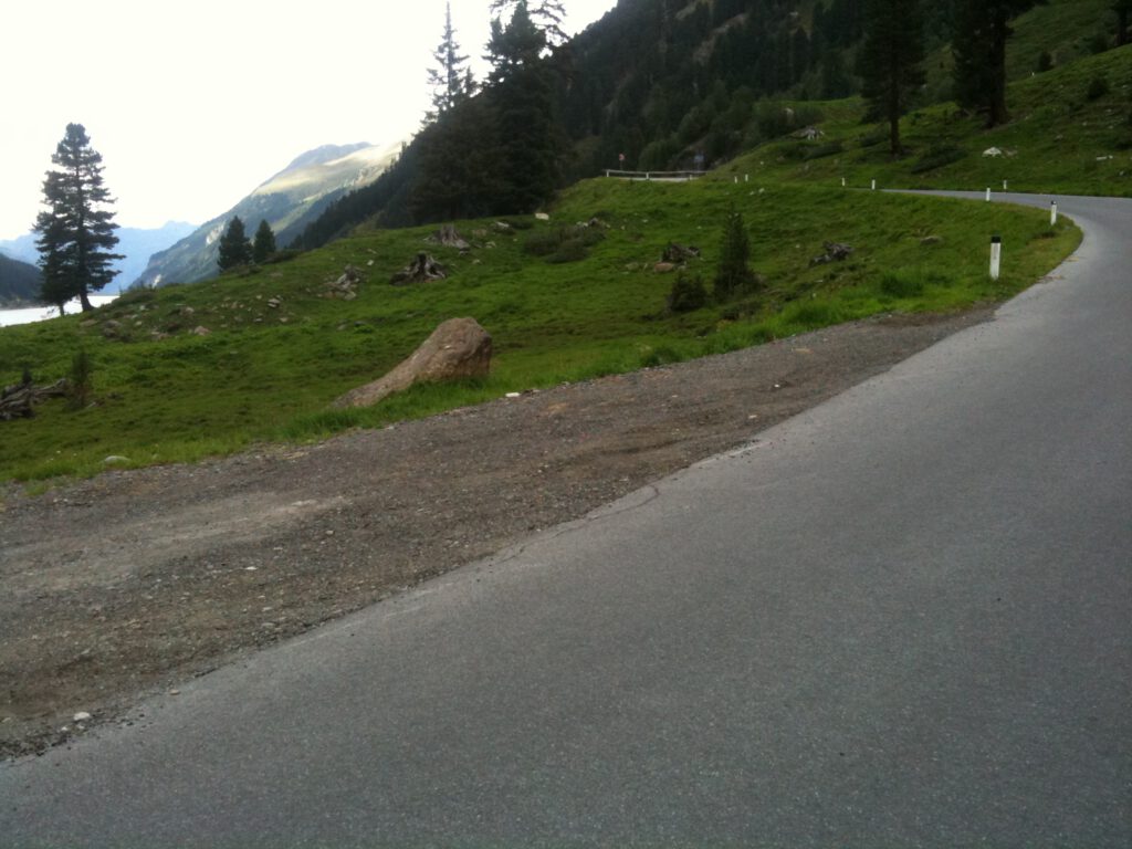
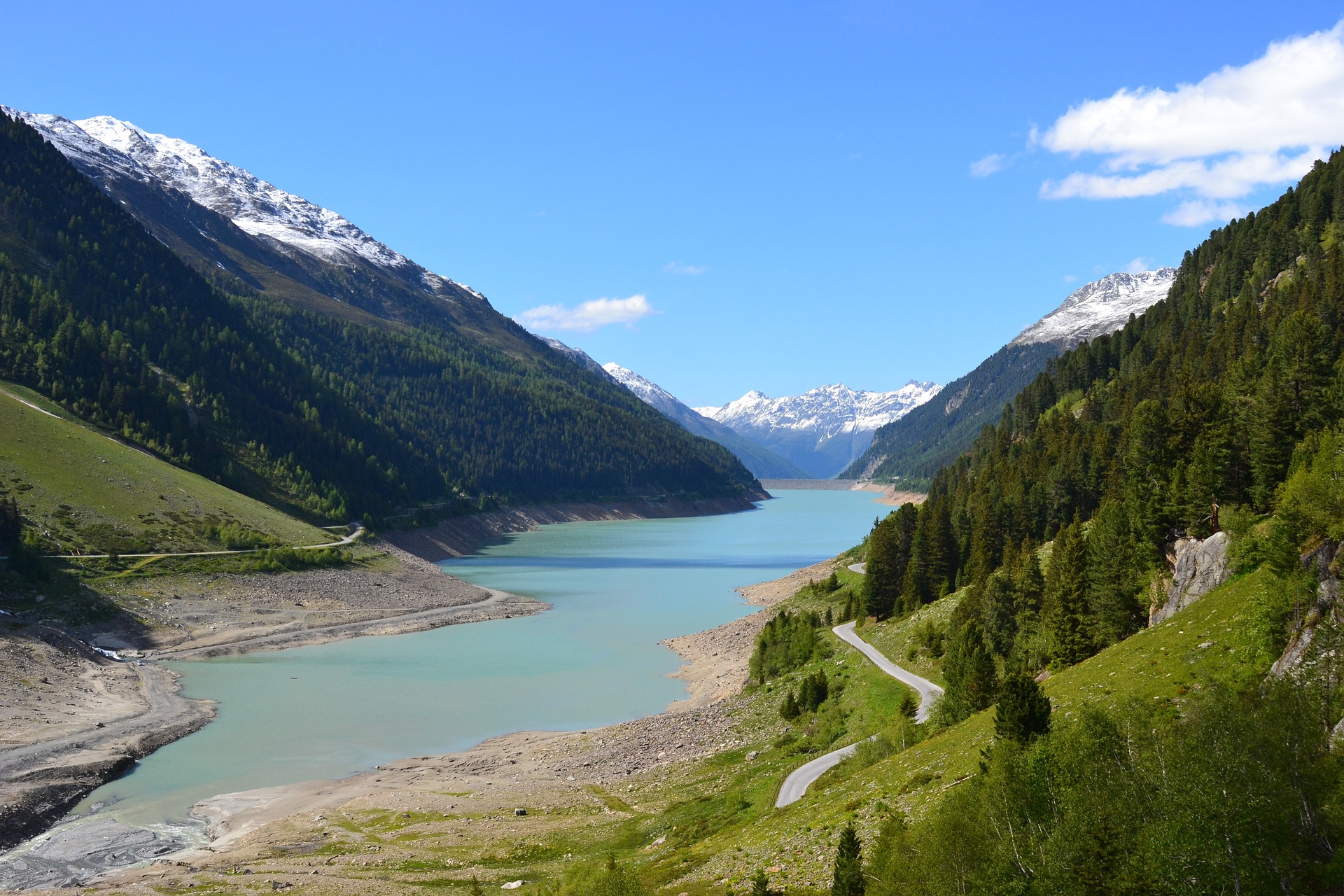
Then, after almost an hour and a half of cycling, the dam appears. This dam (1961-1965) is the highest natural stone-built dam in Europe, and it heralds some easy kilometers along the reservoir (Gepatschstausee). But before that, there’s a steep climb to tackle. Just before the dam, you turn left onto the first hairpin bend of the route (no. 29), followed by three more towards the crown of the dam, 130 meters higher than the valley. After the last bend, a short section of 18% gradient must be overcome. Atop the dam, many day-trippers enjoy the view in good weather. The Gepatschstausee is six kilometers long and has a volume of 138 million cubic meters of water. Here, you have the choice to ride along the left or right side of the reservoir; I chose the left side. Although motorized traffic is allowed here, in both years I experienced no crowding or inconvenience. Along the reservoir, the road undulates, providing some relief for the legs. After the reservoir, the climb truly begins. You can see the road steeply ascending right away, with three hairpin bends of about 10%.

Arriving at 1991 meters, you reach the “Gepatschhaus.” Originally a chapel built in 1894, where mountain guides could pray before venturing into the high mountains. Then it’s a descent again, and we cross the stream again in a right-hand bend. A sign indicating “12%” announces the second part of the climb, and this is a whole different ball game. From now on, there will be no more moments of respite. The bends come quickly as you snake your way up between the rock walls. This is a delightful stretch of climbing where you change direction constantly and feel like you’re making good progress. The gradient remains around 10-12%. The only opportunity to give your legs some rest is to ride on the outer edge of the bends. But as you reach above the tree line, the bends disappear.
Now it’s steep climbing on long, tough straight sections. And where the climb seemed almost over, you now really need to dig deep. After each bend follows a discouragingly long steep section to the next bend, often not even visible yet. Along the way, you eventually pass the Weissee. It turns out to be just a very small puddle; I had imagined it to be a real lake. Upward now, and it gets really tough. The top is not in sight and won’t come into view. The last kilometers to the top are longer than long. The first snow appears along the road. The body warmer can be zipped up a bit further, and the snow provides a little distraction to reach the top. That top, actually the large restaurant with parking lot, is reached very suddenly after the last hairpin bend, and you’ve arrived at an altitude of 2750 meters.
Then it’s time to descend. The first long straight sections are quite easy to descend, at least straightforward, but the road surface is not great. Speeds of around 60 km/h can be achieved. In the section between the rock walls, the bends are much closer together, and here, it’s really important to be cautious; you can suddenly be surprised by a hairpin bend! Caution is therefore necessary here not to miss a bend… Along the reservoir, it’s flat again, and the legs have to work a bit again. After the dam, in the forest towards Feichten, the road is beautiful and straightforward; here, 70 km/h is easily achievable. And although I climbed for two hours and forty-five minutes, the descent takes less than an hour. Arriving in Prutz completes the journey. It’s an absolute must for the more avid cyclist, a real challenge with beautiful scenery along the way. It’s important to conserve your energy in the beginning; you’ll need it in the grueling final stretch.


