One of the most famous climbs in Austria is the Grossglockner High Alpine Road. This Alpine pass can be climbed from two sides. From the north side, it starts from Bruck am Grossglockner, and from the south side, from Heiligenblut. I’ll describe the climb from the north side. We begin cycling in Bruck towards the pass, and the first approximately 7 kilometers are predominantly flat, but slightly ascending towards Fusch. This is ideal for warming up the legs before the climb. After Fusch, the climb really begins. Here, we ride between the trees along the mountainside and already catch a glimpse of the snow-capped peaks in the distance. The gradients are quite steep, ranging from about 7 to 11%. The road is good, and hairpin bends are not visible yet.
We continue towards Ferleiten, the huge toll station where motorists purchase access tickets. For cyclists, there’s a separate passage on the right side of the building. In 2004 when I cycled here, cyclists could buy a special ticket here to register their climbing time. For 2 euros, you’d receive a ticket, which you could insert into a machine at Fuscher Torl to register your climbing time. It’s like a Strava segment before Strava existed. No GPS, just clocking in and out.

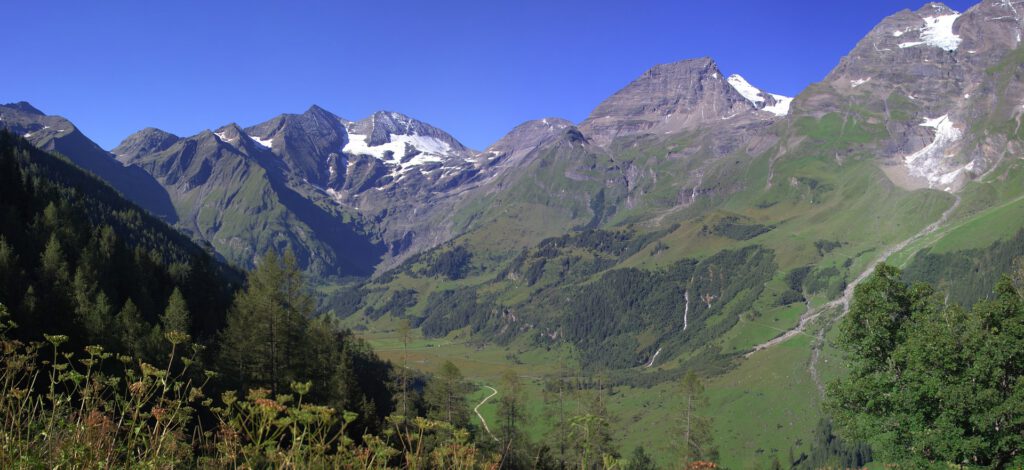
From the toll station at Ferleiten, it’s full throttle, as this is, in my opinion, the toughest section of the route. Gradients hover around 10%, and hairpin bends are scarce, so it’s mainly straight sections of climbing. It’s a beautiful area though, with signs at every turn indicating your elevation. And we’re climbing quite rapidly now. The first hairpin bend comes into view, and we slowly emerge from the forest. The view to the right, over the valley and all the snow-capped peaks, is stunning.
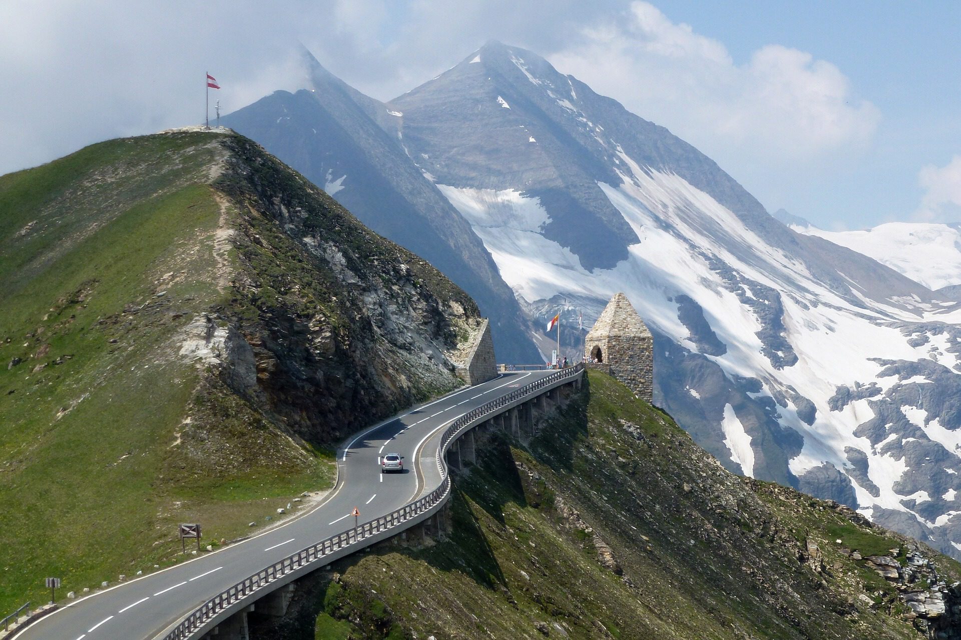
In the open section along the cliffs, the hairpin bends come more frequently, and after Hochmais, there’s another challenging section through the so-called Hexenkuche, with at least one long, tough straight stretch. And then, we’re making progress, as Fuscher Torl comes into view. First, a few more hairpin bends where we can still pick up the pace. Just before Fuscher Torl, you can turn left towards the Edelweisspitze, an extra 2 kilometers averaging 10%. If you continue straight, you’ll reach Fuscher Torl first, a tower on the right side of the road. Here, there’s a machine where you can insert your ticket for a certificate. If you continue further, there’s a relatively short, fast descent. After all, we still have a few more kilometers to reach the highest point of the road.

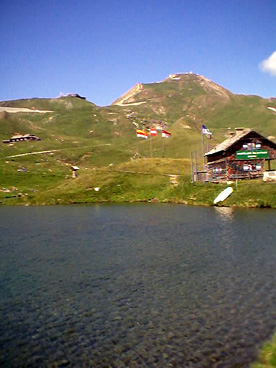
At the bottom of the descent, we pass Fuscher Lacke, a small mountain lake. In the photo, you can see the lake with a view of the short descent behind it. In the top right corner of the photo is the Edelweisspitze, and Fuscher Torl is just out of frame to the left.
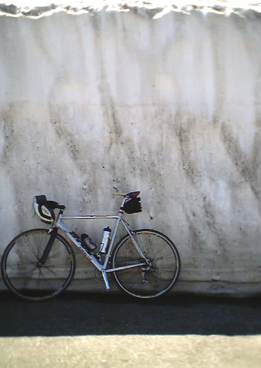
Now, we have to climb again, which can be quite tough after that short descent. In the distance, the first goal is Mitteltor, a tunnel about 300 meters long with a gentle curve to the right. After this tunnel, you’ll see Hochtor in the distance, the second tunnel where the highest point of the climb lies. When I cycled here in July, there were still beautiful snow walls to admire between the two tunnels.

A few more hairpin bends, and then we reach Hochtor. This is a longer, straight tunnel. Mostly cold! On the other side of the tunnel, the descent begins. You can then continue riding to Franz Josefs Höhe, with views of the Pasterze glacier and the Grossglockner. I’ve cycled the climb twice, once at 8:00 a.m. and once later in the morning around 11:00 a.m. Both times, the road was quite busy with many buses and cars. Consequently, the descent wasn’t great because you always end up behind a bus and can’t pass due to oncoming traffic. The smell of burnt brakes is also quite prevalent. Although you’re cycling through a fantastic natural area, I find the experience of nature less enjoyable compared to, for example, the quieter Kaunertal Glacier Road. But this climb is still definitely one that you must experience!


