Leithe Wirt

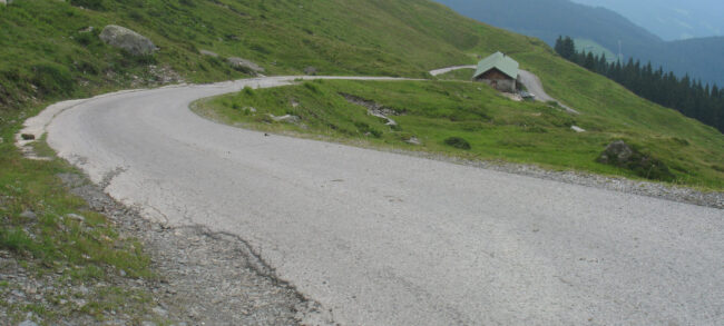
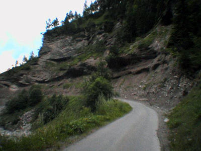
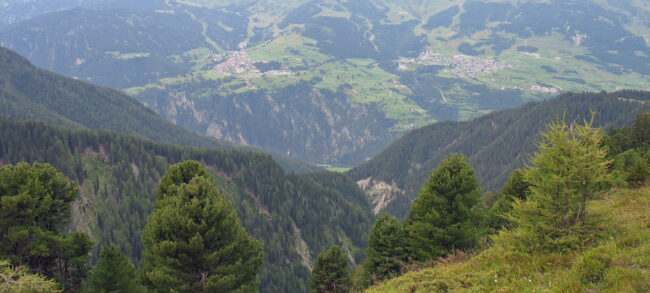
The road to Leithe Wirt is actually a short additional climb from Serfaus. It is best combined with the climb from Tschuppbach and provides extra altitude meters. It’s only a very short stretch, but since 2012 it’s been fully paved and it runs nicely above Serfaus through the meadows to the Leithe Wirt restaurant. In…
Kitzbüheler Horn

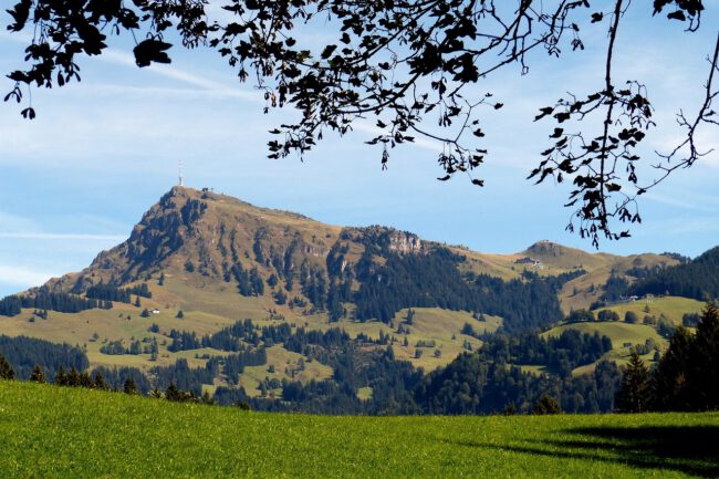
In July 2012, I stay in Westendorf, about a 20-minute drive from Kitzbühel. There lies the infamous panoramic road to the Alpenhaus on the Kitzbüheler Horn at 1670 meters altitude. Notorious not so much because of its length (about 7.5 kilometers), but because of the average gradient. Various values ​​are indicated on websites, it is…

Zillertaler Hohenstrasse

In 2008, I stayed with my family and other relatives in Kaltenbach, Zillertal. This is one of the possible starting points towards the Zillertaler Hohenstrasse. This (toll) road runs high above the Zillertal with a maximum altitude of just over 2000 meters at Melchboden above Hippach. There is quite a lot of information available on…

Schlegeisspeicher

Schlegeis, a reservoir behind Mayrhofen, caught my eye on several cycling websites as a potentially interesting climb. Of course, I’m not on vacation just to cycle, so it’s not a must. But when the family decides to drive to the Schlegeisspeicher by car because there’s supposedly beautiful hiking there, well, what do you do? Fifteen…

Hoch Fugen

The last afternoon of our stay during the summer vacation of 2008 in the Zillertal is spent climbing the road to Hochfugen. This is also the finish location of the first stage of the Deutschland Tour at the end of August, won by Linus Gerdemann. It is an unknown climb; I could find little to…

Nockalmstrasse

The Nockalmstrasse is a panoramic road stretching over about 35 kilometers between Innerkrems and Ebene Reichenau. Coming from the direction of Salzburg via the highway, take the exit at Rennweg, where the road is already signposted. If you’re in the vicinity of this road, make sure to visit! The climbing here is exceptionally beautiful… I…

Nenzinger Himmel / Gamperdonatal

!The road to Nenzinger Himmel has been closed to all traffic, including cyclists, since 2007 and is therefore not accessible for cycling! Only the first two kilometers at about 10% gradient up to the parking lot are still cyclable! Cycling to heaven? The road to Nenzinger Himmel is close to where I stayed in 2005…

Brandnertal

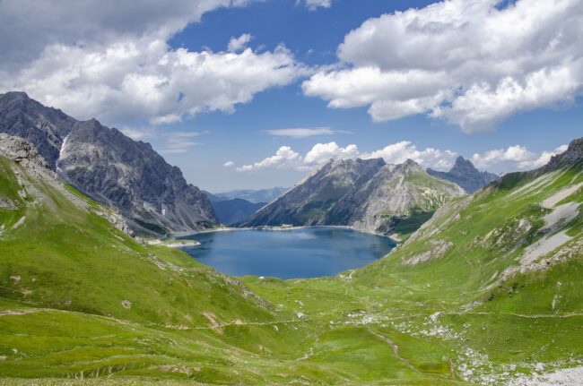
The Brandnertal is located on the map near Bludenz in Vorarlberg. The road here turns off towards the Brandnertal in the direction of the cable car to the Lünersee at the end of the Brandnertal. The best way to start the climb is from Bürs (570 meters), to really tackle the first meters. It’s a…

Silvretta Hochalpenstrasse

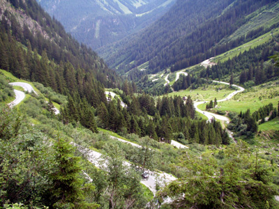
The Silvretta Hochalpenstrasse is the most famous climb and the highest in Vorarlberg. You climb from Partenen to the Bielerhöhe at 2035 meters. The (toll) road winds its way up via 30 hairpin bends in about 14 kilometers along two reservoirs. The pass marks the end of the Montafon area and features two reservoirs, the…

Zauchensee

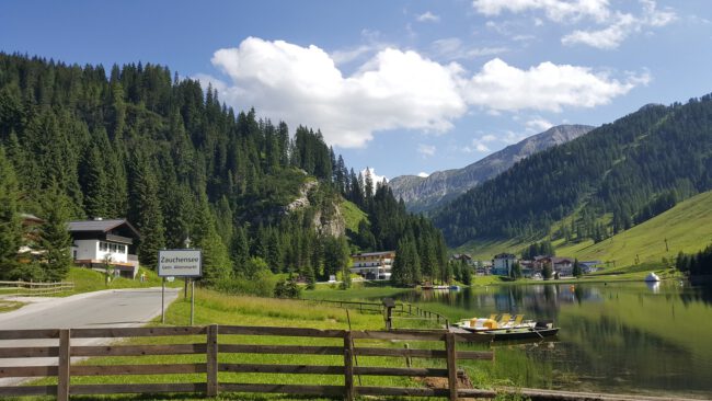
In the lead-up to the ‘bigger’ climbs, I actually stumbled upon the road to Zauchensee by chance. The elevation gain isn’t very significant, around 500 meters over about 11 kilometers, but I decided to feature it on this site nonetheless, mainly because of the beautiful ride. I rode the climb twice, both times on a…